File:Tza Prairie.png
Jump to navigation
Jump to search
No higher resolution available.
Tza_Prairie.png (380 × 317 pixels, file size: 51 KB, MIME type: image/png)
Summary
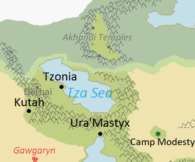
Screenshot of the Moghes Map.
File history
Click on a date/time to view the file as it appeared at that time.
| Date/Time | Thumbnail | Dimensions | User | Comment | |
|---|---|---|---|---|---|
| current | 03:57, 27 April 2023 | | 380 × 317 (51 KB) | Triogenix (talk | contribs) | Screenshot of the Moghes Map. |
You cannot overwrite this file.
File usage
The following page uses this file: